AZ National Forests Kiosk
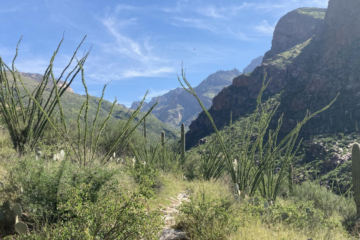
Coronado National Forest commits to improved trail conditions and access in first Santa Catalina Trail Plan
Final Trail Plan signals changes to several trails in the Santa Catalinas. Coronado’s formal project will better maintain and manage its trails.