Smoke, crews and fire this week
Starting May 14 and continuing through May 19, 2024, weather permitting, the Alpine Ranger District in Apache-Sitgreaves National Forests will conduct prescribed fire operations on the Wallow West, Unit 4 East across 4,582 acres.
The Ranger District said, “Fire managers will be monitoring weather conditions leading up to, during, and after implementation and will not burn during, or with high forecasted winds. Prescribed fire operations are contingent on multiple factors, including favorable weather conditions, air quality, and resource availability.”

Location of fire operations
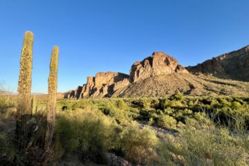
The project site lies 16 miles southwest of Alpine along Forest Road (FR) 25. Its boundaries stretch east of FR 8780, west of FR 25H and the Black River. A dozer line from the Dart fire in 2023 marks the southern limit, while FR 25 defines the northern edge. Refer to the Forests’ map for details.
The goals of forest restoration encompass mitigating dead and down fuels from the Wallow fire, reducing the threat of severe wildfires by improving conditions, and fostering herbaceous plants for grazing.
The Alpine Fire Department will collaborate with Apache-Sitgreaves National Forests firefighters, leveraging this partnership to conduct vital prescribed fire training.
The historic PS Knoll fire lookout tower falls within the footprint of Unit 4 East burn area. Crews have cleared vegetation to safeguard this valuable asset.
Affected recreations sites
Access to these areas and use of them may be restricted or prohibited during fire operations:
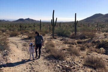
- Black River Trail 61: 3-mile out-and-back trail following the Black River
- Buffalo Campground: Currently closed through summer 2024 for the Buffalo Crossing Bridge replacement project.
- Bear Creek Trail #66: 1.5-mile trail on moderate terrain. The trail and surrounding area continue to be affected by a previous wildfire.
- Horse Springs Group Campsite
- West Fork Campground
Be vigilant and remain cautious in previous burn zones and when travel near prescribed fire areas. Yield to fire workers and obey existing and temporary restriction orders.
1 Comment
www.binance.com sign up · 09/02/2024 at 2:15 AM
Your point of view caught my eye and was very interesting. Thanks. I have a question for you.