UPDATED 5/12/24 11 a.m.: ROADS REOPENED
Fire and road managers have re-opened Clints Well-area roads following the temporary closure on the Coconino National Forest’s Mogollon Rim Ranger District.
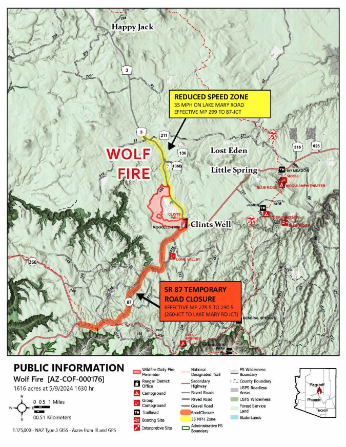
SR 87 has reopened in both directions between the SR 260 junction at milepost 278.5 and the Lake Mary Road junction at milepost 290.5.
While the road closure has been lifted, traffic delays along SR 87 and other area roads, such as Lake Mary Road, will likely persist and intermittent closures of area roads may occur
See the Forest’s latest advisory for more details.
UPDATED 5/10/24 6 a.m.: ROAD CLOSURES
The Wolf Fire Incident Management Team, in collaboration with the Arizona Department of Transportation (ADOT), will enact a temporary closure of a section of state Route (SR) 87 starting at 6 a.m. on Friday, May 10, to facilitate firing operations.
SR 87 will be inaccessible in both directions between the junction of SR 260 at milepost 278.5 and the junction of Lake Mary Road at milepost 290.5. Various alternative routes, including SR 260 and Interstate 17, will remain open for commuters.
Travelers are advised to verify road conditions before embarking on their journey through ADOT’s road status platform at az511.gov, the AZ511 app, or by dialing 511.
Although fire management authorities aim to lift the road closure by late Friday once safety permits, intermittent closures of SR 87 and additional roads, such as Lake Mary Road, may be necessary throughout fire management efforts if smoke diminishes visibility on the roadways.
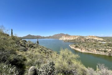
The Wolf Fire in Coconino National Forest
Ignited by lightning from a recent storm, containment ignitions for the Wolf Fire have begun approximately 3 miles northwest of Clints Well Campground near Happy Jack within the Coconino National Forest’s Mogollon Rim Ranger District.
Coconino National Forest has announced that an area closure order has been implemented due to the wildfire.
Access to nearby Coconino NF trails possibly affected
In the coming days, fire managers aim to treat approximately 2,000 acres of land, with a broader goal of treating 11,000 acres over the next two weeks. Management of the 6-acre Wolf Fire has been taken over by the Type 3 Incident Management Team based in northern Arizona since May 6.
Access to these nearby trails at West Clear Creek could be closed or restricted while fire crews work:
From prescribed burn to unplanned containment
Initially planned for treatment through the Clints prescribed fire project later this month, the Wolf Fire’s cause of ignition has shifted from a planned prescribed fire to an unplanned, naturally-sparked wildfire. Despite this change, fire managers intend to proceed with ignitions as part of their comprehensive fire management strategy aimed at enhancing the forest landscape’s health.
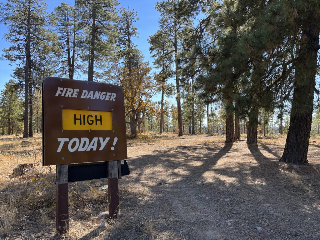
Lightning-caused wildfires allow an opportunity for land treatment: The removal of forest fuels – such as pine needle accumulation, dead and down trees and other dry plant matter – that create hazardous conditions that could lead to potential catastrophic wildfire.
Deputy Incident Commander Jesse Causer expressed anticipation for leveraging the Wolf Fire to achieve multiple land management objectives. These include reducing hazardous fuel loading, safeguarding the nearby C.C. Cragin Watershed, and meeting obligations under the Forest Service’s Wildfire Crisis Strategy.
Travel and explore with caution
Anticipate heavy smoke impacts along Lake Mary Road in the coming days. To ensure firefighter and public safety, speed limits in the Wolf Fire area, from mile post 300 to the junction of Highway 87, will be temporarily reduced.
Motorists are urged to remain vigilant of fire personnel operating in the area. Additionally, a temporary flight restriction has been enforced around the Wolf Fire zone, with drone operators expected to comply with the issued restrictions.

0 Comments