Prescott National Forest announced in a news release that fire management personnel within the Verde Ranger District are conducting a controlled burn spanning 4,130 acres as part of the 132 Blacklining RX. See the vicinity map here.
The planned ignition window is from Monday, October 23, 2023, through Sunday, November 5, 2023, contingent upon favorable weather conditions.
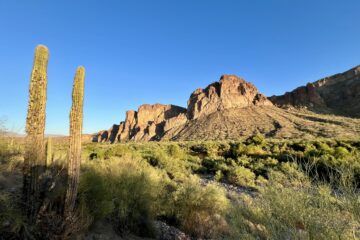
The designated burn area is situated on Mingus Mountain, east of Highway 89A. Smoke emissions will be observable from various locations, including Prescott Valley, Dewey, Prescott, Cottonwood, Clarkdale, Camp Verde, and the I-17 corridor. Anticipate significant smoke volume during daylight hours, with potential smoke impacts continuing into the night in Prescott Valley, Dewey, and surrounding low-lying regions.
Planning Your Visit in Prescott National Forest
Recreationists should be prepared for road delays along Forest Service Road 132, extending from Kendall Peak to the south and east toward Log Springs. It’s important to note that there will be ongoing fire-related activities and the presence of firefighting equipment on FSR 132 and East Ash Creek Trail #539 throughout the burn operation.
There will be no burning during the Man Against Horse Race scheduled for Saturday, October 28 which utilizes much of the trail system in the area along its 50mi and 25mi and half marathon courses. It remains open to non-participants but be on the lookout for runners and horseback riders.
Trails Possibly Affected by the Burns
Trail use on October 28 will not be affected by fire, but plan to share trails with the trail race event. This burn period may affect these trails:
- Ash Canyon, a 4.3-mile out-and-back trail
- Kendall Peak, a 0.9-mile out-and-back trail
- Yeager Canyon Loop Trail, a 6.1-mile loop trail
- North Mingus Loop Trail, a 4.2-mile loop trail
- Gaddes Canyon Trail, a 3.6-mile out-and-back trail
- Mingus Mountain OHV Trail, an 18.8-mile point-to-point off-road-vehicle trail
USDA Forest Service’s Wildfire Crisis Strategy
This project aligns with the Forest Service’s national Wildfire Crisis Strategy, aiming to enhance forest resilience against severe wildfires that endanger lives, property, watersheds, and wildlife habitats. The Blacklining RX initiative seeks to diminish fuel loads on the south side of Mingus Mountain while establishing firebreaks along FSR 132.
Fire managers intend to use this treatment as a defensible fire line in future fire control efforts. Areas of concern encompass private inholdings on Mingus Mountain (including the University of Arizona 4-H Camp, Brindle Pup Mine, and Recreation Residences), communication sites atop Mingus Mountain, the communities of Cherry and Whitehorse, and Forest Infrastructure within the Mingus Mountain Recreation Area. Ecologically, the project aims to boost vegetation diversity, enhance wildlife habitats, and reduce the proliferation of invasive plant species.
Prescott National Forest Land Management
The land management strategy for Prescott National Forest centers on long-term forest health, emphasizing the reduction of forest fuels and the incorporation of prescribed fires into the landscape. By maintaining low to moderate fire behavior, this approach better safeguards communities while simultaneously improving watersheds, wildlife habitats, and overall forest health.
Contact Prescott National Forest
For more fire information, call (928) 925-1111; and stay updated on Prescott National Forest news via the Prescott NF website, and Facebook and Twitter.


0 Comments